|
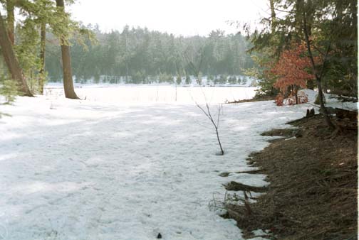
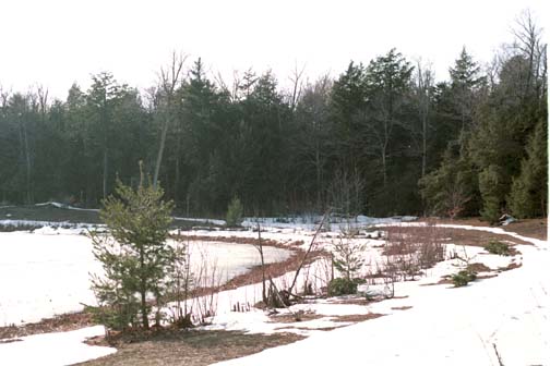
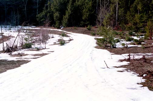
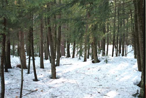
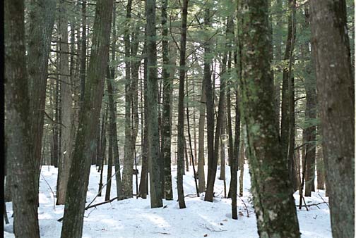
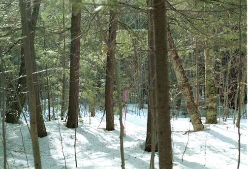
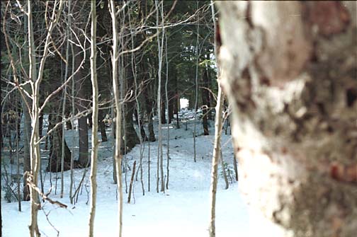
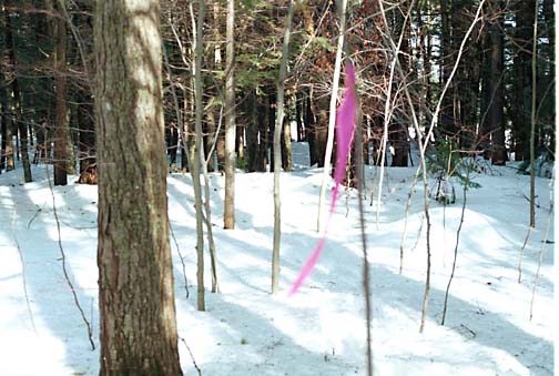
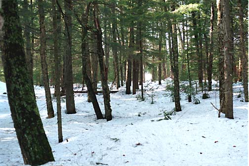
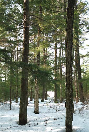
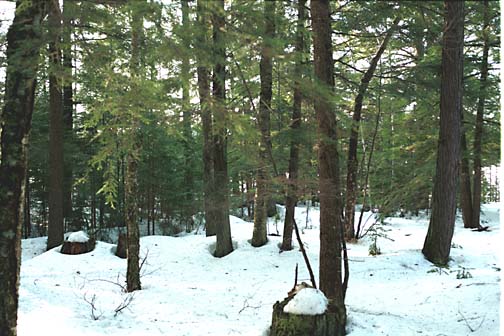
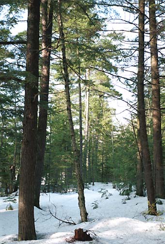
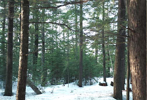
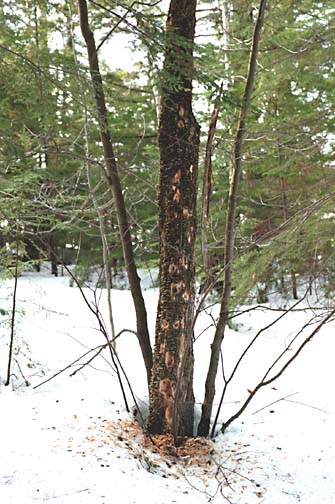
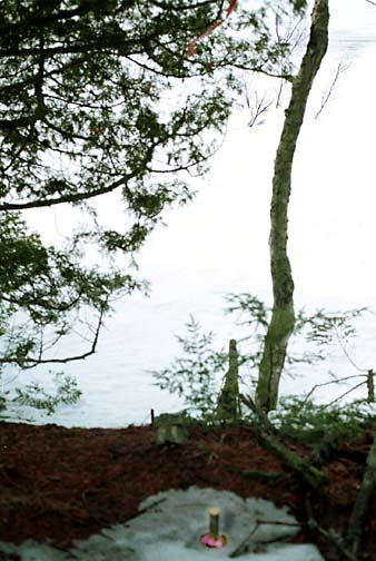
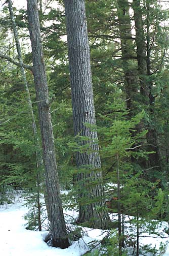
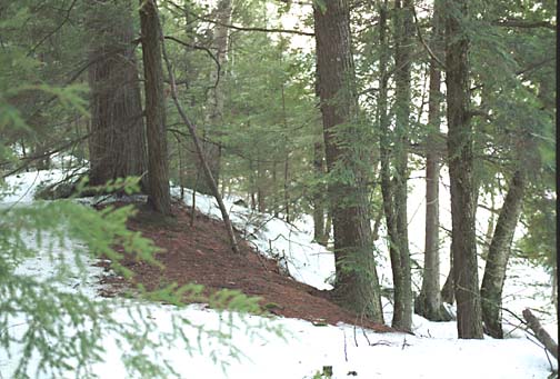
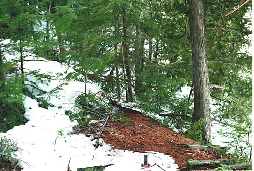
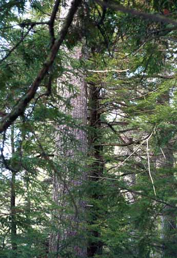
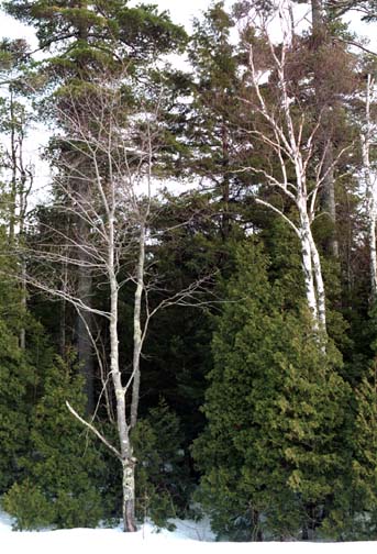
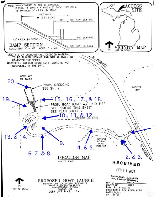
Click on a number below and see a photo that corresponds to the place on the map with that number. For example, photo "1." was taken near where the access road will come in from M-28. |
|
1. 2. 3. 4. 5. 6. 7. 8. 9. 10. 11. 12. 13. 14. 15. 16. 17. 18. 19. 20. |